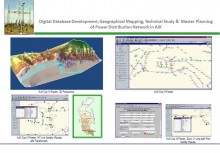
 Click To Enlarge
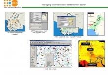
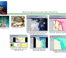
Marine Ecological Study
BACK TO PROJECTS
Name of associated firm :
-
Project Location within Country:
Ras Laffan, Doha, Qatar
Start Date:
January 2003
Completion Date:
December 2003
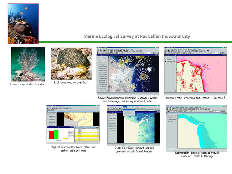
Project Description
Landsat ETM+ and SPOT XS Satellite Images were obtained in summer and winter seasons to analyse
Marine Ecological Distribution of Sedimentation and Temperature Profiles along with physically acquired biodiversity datasets of Flora, Fauna and Metal distribution. GIS based Data modelling was performed using Arc View 3.2 Spatial Analyst to develop the respective layer contour distribution of ecological parameters.
Services
-
Acquisition of Landsat ETM+ and SPOT XS Imagery
-
Image Processing and Classification
-
Image Analysis Model Development
-
Integration of Field Data on GIS Platform
-
Development of Spatial Analyst based Contours to assess patterns of assessment parameters
-
Customized Queries and Application development
-
Development of Thematic Maps


