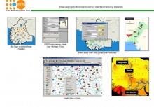
 Click To Enlarge
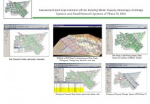
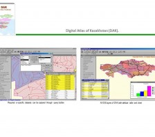
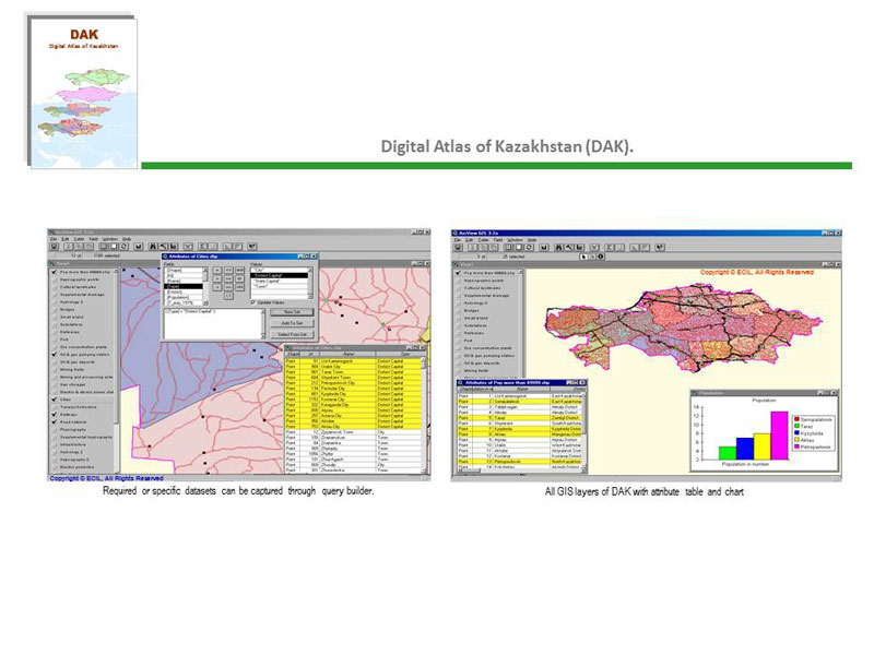
Digital Atlas of Kazakhstan: GIS coverage of entire country for Oil & Gas exploration, Kazakhstan
BACK TO PROJECTS
Name of associated firm :
-
Project Location within Country:
Whole Kazakhstan (Area 2,715,976.000 Sq Km)
Start Date:
--
Completion Date:
6 months
Project Description
The Digital Atlas of the Kazakhstan is a comprehensive 1:2,000,000 scale vectorised base map of the
Kazakhstan. It consists of geographic attribute and textual data that can be accessed, queried, manipulated, displayed, and modified with the help of the Arc / Info Software. Each coverage gets its attribute value according to previously constructed database design. A design was made in such a manner that could be acceptable to a wide range of users. Coverage is the basic form of vector data storage in ARC/INFO software. Data are stored primarily as points, lines or polygons, and secondary as text, tics and boundary. Whole data is projected on WGS 84 projection, and dbase coverage is adapted from Digital Chart of the World (DCW).
Major coverages include:
-
International Boundary
-
Electricity Power lines
-
Districts
-
Mining and Processing Enterprises
-
Cities
-
Substations
-
Roads
-
Oil and gas pumping stations
-
Cultural Landmarks
-
Electric and atomic power stations
-
Railway line
-
Drainage lines
-
Gas Storage
-
Latitude and longitudes
-
Oil and Gas storage
-
Drainage points
-
Oil Refineries
-
Hypsography
-
Ports
-
Spot heights
-
Ore- Concentration Plants
-
Land cover
-
Mining fields
-
Physiography
-
Pipelines
-
Transportation lines
-
Islands
-
Bridges
-
Seas


