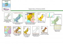
 Click To Enlarge
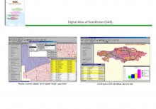
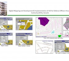
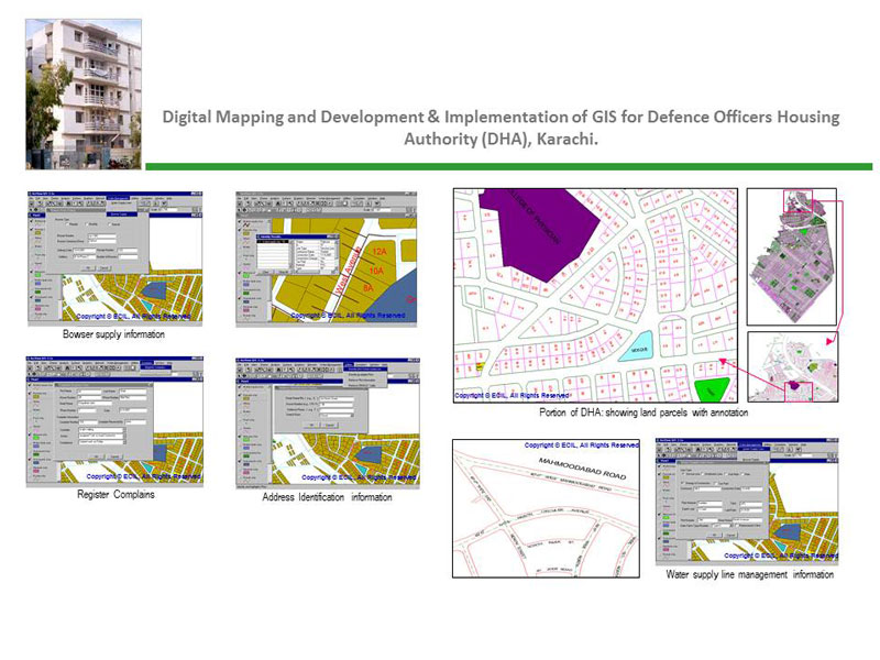
Digital Mapping and Development & Implementation of GIS for Defence Officers Housing Authority (DHA), Karachi
BACK TO PROJECTS
Name of associated firm :
-
Project Location within Country:
Karachi
Start Date:
June 1996
Completion Date:
January 1997
Project Description
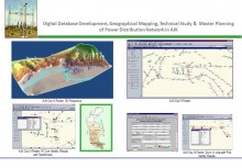
Defence Officers Housing Authority (DHA), Karachi awarded a pilot project of converting the existing maps of phase I to phase VII and developing GIS of services for phase VII to ECIL. The salient features of the project are as follows:
-
Digital Mapping of Defence Housing Authority (DHA) phases 1 to 7
This included digitization of layout plans on scale 1" = 200' (or 1:2400) covering phase I to phase VII. It included plots, road network, sewerage and manhole system, water pipeline system and all other features included and displayed in the map -
Development of Geographic Information System (GIS) of services for phase VII
This includes the development of Geographic Information System (GIS) for all engineering services of Phase VII, services included were, water pipelines, sewerage lines & manholes, road network and plots. GIS was developed using the ArcInfo software and attributed through ArcView software for database management. -
Transfer of technology to DHA designated staff, ECIL assignment included recommendation for relevant hardware & software and hand-on training to designated staff of DHA.
Services
ECIL provided the following services to the client:
-
Production of digital maps of phases I to VII. From the existing map layout on scale 1:2400
-
Development of GIS for water lines, sewer lines, manholes, plots and road network of phase VII, using ArcInfo system
-
Physical verification (ground truthing) by GPS and fixing coordinates of landmarks
-
Recommendation of hardware and software for the implementation of GIS in Defence Housing Authority
-
Transfer of technology to DHA staff by imparting hands-on training


