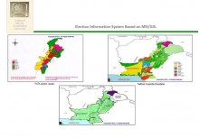
 Click To Enlarge
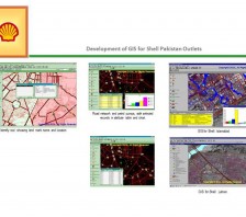
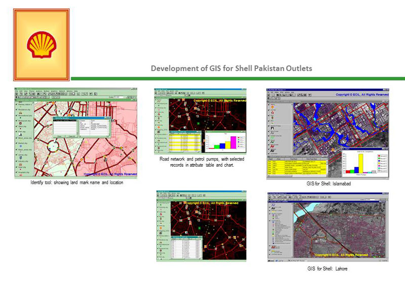
Development of GIS for Shell Pakistan Outlets
BACK TO PROJECTS
Name of associated firm :
-
Project Location within Country:
Lahore, Rawalpindi & Islamabad
Start Date:
December 1999
Completion Date:
August 2000
Project Description
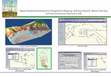
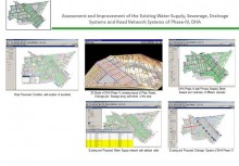
Development of GIS, as a decision support system for Shell Pakistan in Lahore, Rawalpindi and Islamabad. The Developed GIS included all the roads, widen than 15 ft, in the metropolitan areas of subject cities. All the Petrol Pumps, Shell & competitor, and major landmarks in the project area identified in the developed GIS. In addition, all district boundaries and land-use blocks, as provided by the concerned authorities, were digitized and integrated into the GIS.
The GIS of decision support system was designed to use Arc View as the format and could be integrated to as external RDBMS.
Services
-
Procurement of 2-meter resolution satellite image by ECIL
-
Digital Mapping of all roads wider than 15' and falling in the metropolitan limits of the above cities in the digital base map
-
All the existing petrol pumps sites, Shell and competitors, identified as "Points" on the base map
-
Data dictionary will be developed and tied to each petrol pump site located on the map
-
Land-use blocks, as developed by respective development authorities in subject cities, were digitized into the base map


