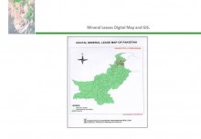
 Click To Enlarge
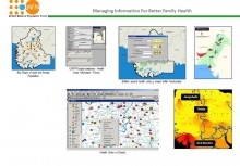
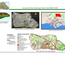
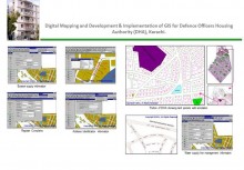
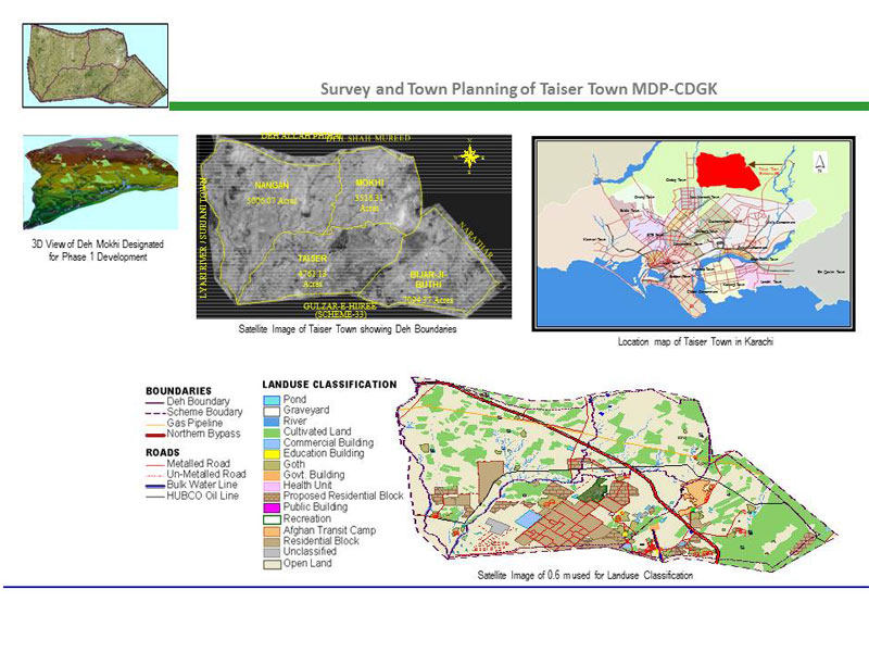
GIS based Spatial Data Modelling and Infrastructure Layer for Town planning of 90 sq. km of Taiser Town
BACK TO PROJECTS
Name of associated firm :
-
Project Location within Country:
Karachi
Start Date:
August 2003
Completion Date:
April 2009
Project Description
The project was awarded by Malir Development Authority (MDA) for planning and development of Taiser Town. ECIL adopted an integrated approach of projecting infrastructure layers on GIS platform. High Resolution Imagery was utilized for developing baseline datasets for delineating Land Use Patterns and other infrastructure layers. GIS based Spatial Data Modelling was performed to project Topographic contours to establish terrain based water supply, drainage and other facilities design and implementation. A comprehensive GIS based Suit was developed utilizing technology based Town Planning approach.
Services
-
Acquisition of High Resolution Satellite Imagery
-
Image Processing and Classification
-
Topographic Data Grid Generation in Terrain Modelling
-
GIS based Concept Planning of Plots, Parcels and Infrastructure Layers
-
Integrated System Design of Infrastructure Layers on GIS platform


