 Click To Enlarge
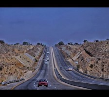
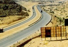
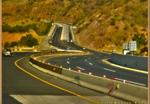
Feasibility Study, Detailed Design of Islamabad-Peshawar Motorway (2 Alignment, 189 km + 54 km = 243 km)
BACK TO PROJECTS
Name of associated firm :
Mott Macdonald International Limited (England)
Project Location within Country:
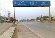
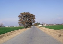
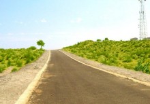
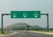
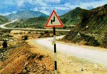
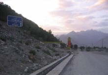
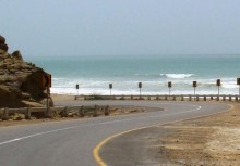
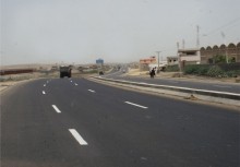
Islamabad to Peshawar
Start Date:
July 1992
Completion Date:
November 1992
Project Description
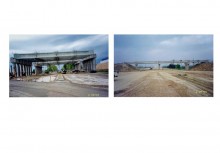
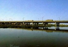
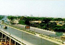
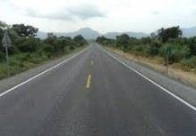
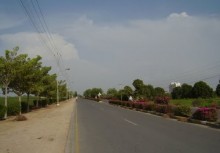
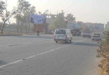
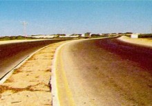
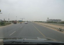
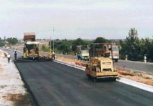
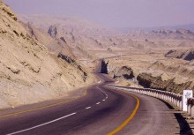
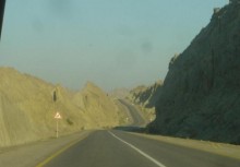
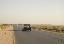
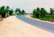
The proposed motorway connects Pakistan capital Islamabad to provincial (NWFP) capital Peshawar. Islamabad-Peshawar Motorway is a 6 lane Dual Carriageway with full access controlled facility. The length of the motorway is 154 km. Each carriageway is 10.95 M wide with 3 meters shoulders on each side and a 5 meter wide median. There are three major river bridges en-route over Indus River, Kabul River and Haro River.
The design of original alignment 189 km was completed in November 1992 (in 4 Months). The motorway was re-designed according to the GOP change of alignment (154 km) on the request of NWFP Government.
Services
-
Route Alignment Study
-
Feasibility Study
-
Detailed design of motorway, major river bridges, interchanges and wayside facilities including landscape
ECIL undertook following tasks for the above work at (1), (2) & (3)
-
Reconnaissance survey of the project area and marking route alignment on the SOP map with the assistance of satellite imagery
-
Collected and compiled socioeconomic data of the project area
-
Prepared estimates of traffic for the motorway facility by modelling the traffic on all major highways in the vicinity of the project route. Traffic model was developed on the basis of data input obtained through fresh traffic counts, origin - destination surveys, speed surveys and other trip-marking pattern of the area. In addition, the turning movement traffic volumes at the proposed interchange locations was also estimated by using traffic model. This entire traffic was then projected for the design year.
-
Carried out topographical surveys, identified alternate route
-
Conducted hydrological investigations also prepared hydrological & survey data for Indus River & Kabul. River for Hydraulic Model Testing
-
Geotechnical & material investigations
-
Soil investigations
-
Utility surveys
-
Prepared preliminary design & preliminary cost estimates
-
Prepared economic feasibility which includes the derivation of benefit cost ratio (BCR), Internal Rate of Return (IRR), Net Present Value (NPV) and ratio of project cost to the first year benefits of the project to demonstrate the economic and technical feasibility, including testing the results on HDM model
-
Feasibility report
-
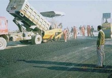
Prepared detailed design & drawings. The design and drawings were vetted by M/s. Mott Macdonald Limited (MMIL)
-
Prepared cost estimates & tender documents


_2.jpg)


